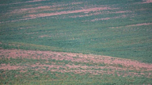
Crop monitoring: The health, development, and growth of crops can be tracked using satellite photography. The photos offer information on vegetative biomass, vigour, and stress signs such changes in chlorophyll concentration. Farmers can spot problem areas, spot early indications of disease, nutrient deficiency, or water stress by analysing satellite imagery, and then take preventative action to lessen possible problems.
Crop output can be forecasted by combining satellite imagery with additional data sources like weather information and past crop performance. Satellite imaging aids in forecasting and planning for future harvest results by tracking vegetation indices and growth patterns throughout the growing season. Accurate yield forecasting aids in improved resource allocation, logistics, and market planning decisions.
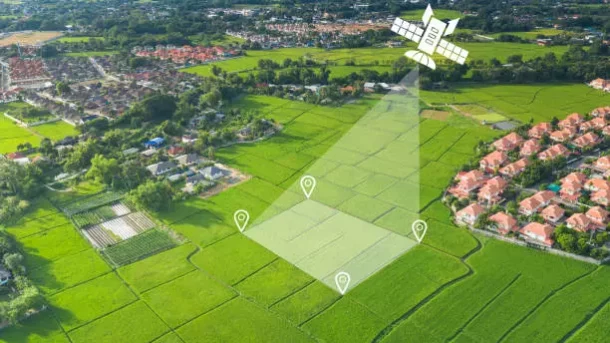
Field Mapping and Boundary Identification: Field mapping, defining field boundaries, and identifying certain geographical areas all make use of satellite images. Crop management, precision farming techniques, and adherence to laws or rules governing agriculture all benefit from this knowledge. Using satellite imagery for field mapping enables accurate field-level monitoring, analysis, and targeted actions.
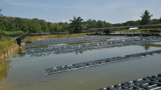
Management of Irrigation: Satellite photography provide information on the soil moisture levels and irrigation requirements across vast agricultural areas. Farmers may improve their irrigation plans, ascertain when and how much water is needed, and avoid over- or under-irrigating by analysing satellite-based data. Thus, water consumption efficiency is improved.