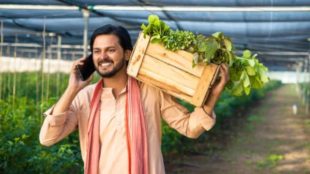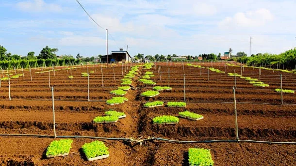
In crop monitoring, drones have proven to be an invaluable tool for giving farmers rapid access to accurate information about their farms. Drones are used in crop monitoring in the following ways:
Aerial imaging: Crop fields are captured in high-resolution by drones with cameras. By giving farmers a bird’s-eye view of the entire field, these photographs enable them to evaluate the health of their crops, spot anomalies, and spot patterns of variability. Crop stress, nutritional deficits, disease outbreaks, and insect infestations that may not be visible from the ground can be found via aerial imagery.
Vegetation indices: Drones can collect data to construct various vegetation indices, such as the Normalized Difference Vegetation Index (NDVI), by utilizing specialized cameras or sensors. These indexes offer numerical data on the health and vigor of plants. NDVI measurements show the density
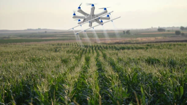
Crop scouting: Drones with cameras or sensors can carry out focused reconnaissance missions to keep an eye on particular fields’ points of interest. A drone can be used to take precise pictures or thermal data, for instance, if a farmer fears a pest infestation in a particular area of the field. Drones can save farmers time and effort by promptly identifying agricultural problems and taking action.
Drones can be used to monitor agriculture fields for the first indications of disease or insect outbreaks. Drone can discover differences in plant health, find stress patterns, and locate infestation hotspots by taking high-resolution photos, thermal data, or multispectral data. This enables farmers to undertake timely pest control measures.