Longer flight periods, bigger payloads, and better stability and manoeuvrability are just a few of the improved flight capabilities that contemporary agricultural drones have. These developments enable drones to operate in hazardous environments, cover wider regions, and transport more advanced sensors and equipment.
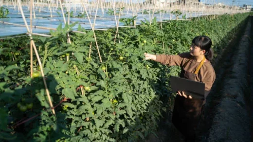
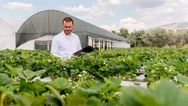
High-Resolution Imaging: Drones used for agriculture are outfitted with high-resolution cameras and sensors that can take precise aerial photos of crop areas. The health, growth, and stress levels of plants can all be inferred from this imagery. Computer vision and machine learning algorithms can process the photographs to provide maps and useful information for farmers.
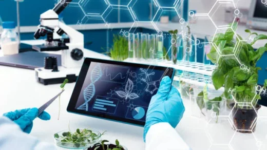
Agricultural drones are now equipped with multispectral and hyperspectral sensors that take pictures in a variety of spectral bands. Indicators of crop health like chlorophyll content, water stress, nutritional deficiency, and pest and disease infestations can all be found and measured by these sensors. Using multispectral and hyperspectral imaging, farmers may spot crop health problems early on and take action, resulting in more focused interventions and better yield results.
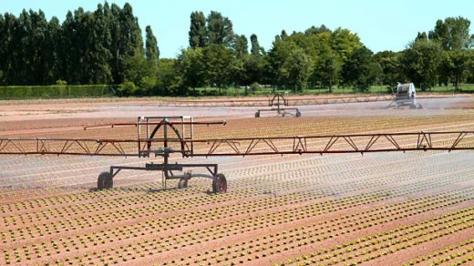
Drones using thermal cameras can take thermal images, which can be used to detect temperature differences across a field. For spotting irrigation problems, determining plant stress, finding water leaks, and keeping tabs on livestock health, thermal imaging is especially helpful. Farmers can improve irrigation techniques, deal with water stress, and spot anomalies in animal behaviour by identifying problem regions.